
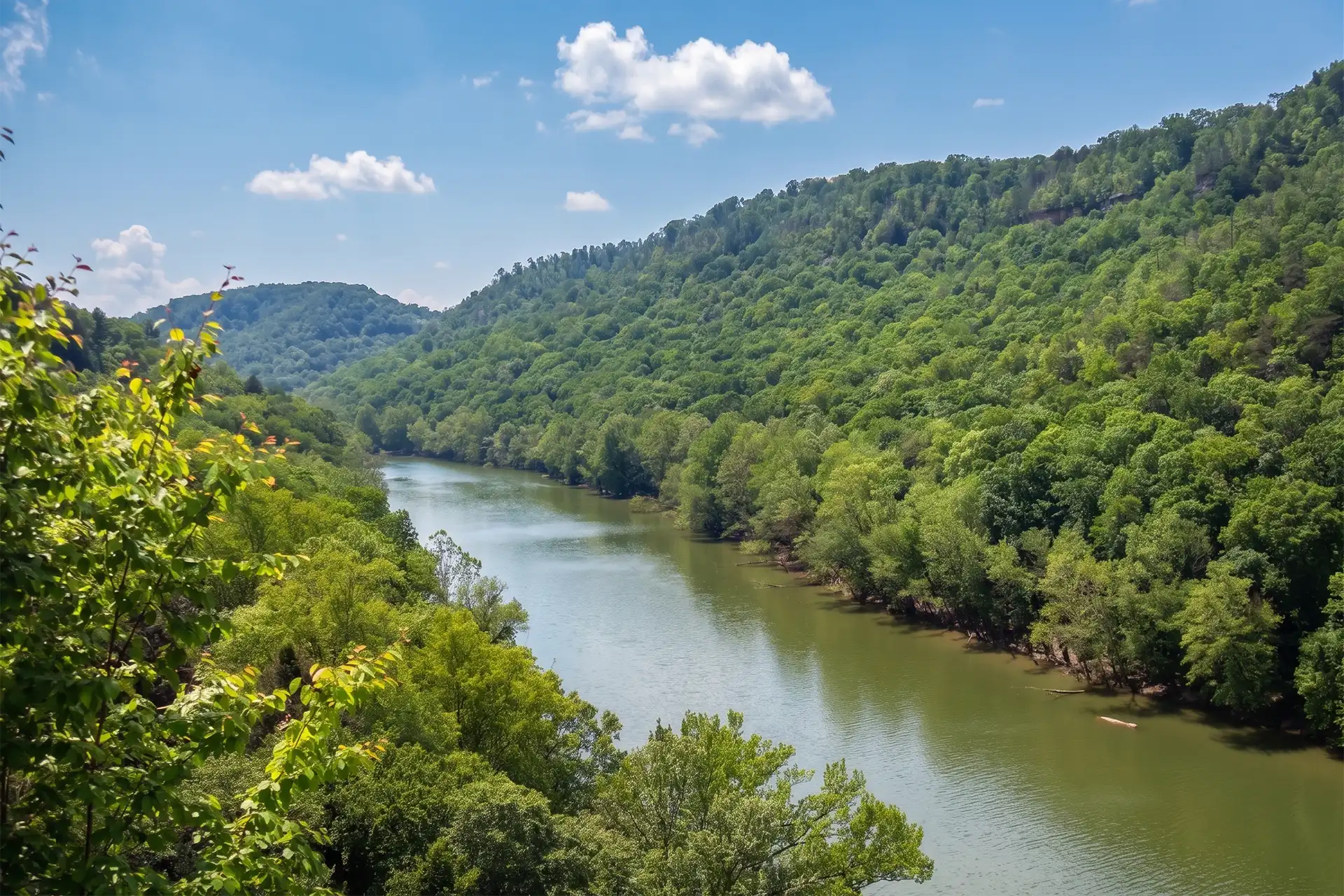
The Cumberland River is a wild river above the headwaters of Lake Cumberland. One of the largest waterfalls in the eastern United States, Cumberland Falls is 68 feet (21 m) high, is on this river. Most of the river below Lake Cumberland’s Wolf Creek Dam is navigable because of several locks. A 90-mile section of its Big South Fork is protected by the National Park Service.
The Cumberland River is an important waterway in the Southern United States. It is 688 miles (1,107 km) long. It starts in Harlan County in eastern Kentucky on the Cumberland Plateau, flows through southeastern Kentucky and crosses into northern Tennessee, and then curves back up into western Kentucky before draining into the Ohio River.
Recreation opportunities abound with hiking, camping, wildlife viewing, bird watching, fishing, canoeing and more. River access is available at Redbird near Williamsburg, KY and Noe’s Dock Boat Ramp and Sawyer Boat Ramp in McCreary County, two sites where modern watercraft can access beautiful Lake Cumberland.
Please visit https://fw.ky.gov/Education/Pages/Cumberland-River.aspx or www.fs.usda.gov/dbnf to learn more about what the mighty Cumberland River has to offer.